Header

Main Content

Article

Patoka Lake

Patoka Lake
3084 N. Dillard Road
Birdseye, IN 47513
812-685-2464

View daily lake level report


Patoka Lake advisories

  • The Indiana Department of Natural Resources has adjusted services, events and operations to protect Hoosiers and prevent further spread of COVID-19. Please visit on.IN.gov/dnrcovid19 for a listing of what is open, closed, restricted and canceled.
  • Blue-Green Algae: Found in lakes year-round. More information.

Upcoming Events at Patoka Lake

  • Description

    Newton-Stewart SRA, Jackson SRA, Lick Fork SRA, Little Patoka SRA, Painter Creek SRA, Walls Lake SRA, South Lick Fork SRA.

    25,800 acres - 8,800-acre lake

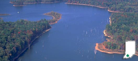
    With 26,000 acres of land and water, Patoka Lake is a fine example of lake ecology. An 8,800-acre lake provides habitat for freshwater jellyfish and bald eagle nesting sites. River otters and osprey were reintroduced at Patoka by the DNR.

    The property is home to one of only two resident, non-releasable bald eagles at a DNR state park or reservoir. The eagle was acquired in 2013. An earlier eagle called C52 lived at Patoka Lake from 1988 until he died in 2009. Learn more about the Patoka Lake Raptor Center and inhabitants.

    The property’s Interpretive Services staff presents programs and special events featuring the reconstructed Moery Cabin, a non-releasable red-tailed hawk, bald eagle, Eastern screech owl and other natural and cultural history features of the area. Programs on kayaking, Dutch oven cooking and other outdoor skills are also offered.

    The lake is located just south of the historic towns of French Lick and West Baden, and just east of historic Jasper.

    Patoka Lake Interpretive Plan

    Water safety matters! If you use one of our big reservoirs for swimming, fishing, boating or skiing, check out Bobber the Water Dog, brought to you by the U.S. Army Corps of Engineers.

  • Activities
    • Archery Range
    • Boating / 10 Launch Ramps
    • Cross-country skiing
    • Fishing / Ice Fishing
    • Disc Golf Course
    • Hiking / Fitness / Biking Trails
    • Hunting
    • Interpretive / Recreational Programs
    • Picnicking / Shelterhouse (Shelter Reservations)
    • Swimming / Beach (Policy)
    • Waterskiing

    Camping - See campground maps under MAPS tab

    • Electric / 455 sites
    • Primitive / 45 sites
    • Dumping Station

    INFORMATION

    Marinas and Boat Rentals

  • Description of Hiking Trails

    Note: For trail locations, view the property map under the MAPS tab.

    Main Trail (6.5 miles) RUGGED—This loop trail begins at the Nature Center and well maintained, but has a limited number of signs along the way. Average hiking time is three to four hours. Many visitors enjoy walking to Totem Rock, a large rock shelter that was used by Native Americans and early settlers. “Short cuts” back to the Center are available for those familiar with maps and hiking. A “Birdwatching Spur” is on the far north end of the peninsula.*

    Wildlife Management Demonstration Trail (2 miles) MODERATE—A loop trail beginning at the Nature Center. Illustrates habitat requirements of wildlife as well as wildlife management techniques used on the property. Demonstrations include food plots, protective cover planting, controlled burning and much more. A booklet keyed to numbered posts is available for this self-guided interpretive trail.*

    Garden Rock Loop Trail—MODERATE—A short loop trail begins just across from the Nature Center’s front door. Try this trail if your time is limited and rock overhangs, ferns and pines sound inviting. The trail can be hiked in 30 to 45 minutes, but is hilly.*

    Interpreter-Conducted Walks — Join us for scheduled walks and hikes that may last 30 minutes or three hours. These walks are an enjoyable way to see the Reservoir, learn about nature and history, and meet other people.

    *Because of size limitation, locations are marked but actual trails are not shown on this map. Trails listed above are in the Newton-Stewart SRA. Trail brochures are available at the Nature Center.

    PLEASE STAY ON MARKED TRAILS.

  • Maps