Indiana Dunes State Park advisories
- The Indiana Department of Natural Resources has adjusted services, events and operations to protect Hoosiers and prevent further spread of COVID-19. Please visit on.IN.gov/dnrcovid19 for a listing of what is open, closed, restricted and canceled.
- Description
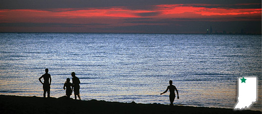
Indiana Dunes consists of 2,182 acres of primitive, beautiful, historic and unique Hoosier landscape. It lies at the north end of State Road 49 in Porter County, and includes more than three miles of beautiful beach along Lake Michigan’s southern shore. In the early 1900s scientists, recreationists and nature enthusiasts, recognizing the value and potential of the Indiana dunes area, fought to have the region preserved. As a result, in 1925, the state park was established.
Large sand dunes, located beyond the entire shoreline, have taken thousands of years to form, and tower nearly 200 feet above Lake Michigan. A wide range of habitats and plant species are found in the park, with vegetation stabilizing some of the sand. These habitats provide homes for many types of plants and animals. The lake also provides habitat for many aquatic species, as well as a constantly changing fishery.
During the summer, swimming hours may change because of weather and staffing. Please contact the property office for exact times before your visit.
- Activities
- Nature Center/Interpretive Naturalist Services (Open Wednesday - Sunday 10 a.m.- 4 p.m. CT/local time, closed state holidays)
- Picnicking/Shelters
(Shelter Reservations) - Access to Calumet Trail (9 miles of hiking)
- Cross-country Skiing (trails available, no ski rental)
- Fishing (Smelt Only)
- Hiking Trails
- 3 Dune Hiking Challenge
- Swimming / Beach (Policy). Dogs are not allowed on the Indiana Dunes State Park beach.
- Birding (Dunes Birding Blog)
Camping - See campground maps under MAPS tab
- Electric - 140 (all 50 amp service)
- Youth Tent Area
INFORMATION
- Campground reservations
- Local map
- Local tourism info
- Regional tourism info
- Friends of Indiana Dunes
- Trails
Note: For trail locations, view the property map under the MAPS tab.
CLOSED: 2. EASY (3 miles)—The best trail for early spring flowers and ferns. Climax forest is used for crosscountry skiing during the winter season.
3. MODERATE (.75 mile)—Provides an opportunity to view succession in dunes area. Excellent for late spring wildflowers, including prickly pear cactus.
4. MODERATE (.75 mile)—Goes through dunes covered with black oak forest.
7. MODERATE (1.1 miles)—Similar to Trail 4. Most direct route from Nature Center to beach.
8. RUGGED (1.5 miles)—Goes over the tops of the three highest dunes of the Indiana Dunes.
9. MODERATE (3.75 miles)—Provides best representative view of the dunes. Good view of lake.
10. MODERATE (5.5 miles)—Hikers are rewarded by stands of white pine and a "tree graveyard" in Big Blowout. A good morning hike.
PLEASE STAY ON MARKED TRAILS.
- Maps