Salamonie Lake advisories
- The Indiana Department of Natural Resources has adjusted services, events and operations to protect Hoosiers and prevent further spread of COVID-19. Please visit on.IN.gov/dnrcovid19 for a listing of what is open, closed, restricted and canceled.
- Blue-Green Algae: Found in lakes year-round. More information.
- Description
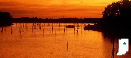
Salamonie Lake is centrally located between the cities of Wabash, Huntington and Marion. Enjoy scenic trails, wildlife and bird watching, hunting, and camping at this 2,665-acre lake property, constructed for flood control by the U.S. Army Corps of Engineers. The 12,554 land acres, which are managed by the DNR Division of State Parks, provide 40 ponds, marshes, and wetlands, contributing to diverse wildlife and recreational opportunities. DNR manages several properties on the lake, including the Lost Bridge West State Recreation Area (SRA), Lost Bridge East SRA, Dora-New Holland SRA, Mount Etna SRA, Mount Hope SRA.
- Activities
- Amphitheatre
- Basketball Courts
- Biking Trails
- Boating / Launch Ramps/ Marina (salamoniemarina.com/)
- Bridle Trails
- Canoeing/kayaking
- Cross-country Skiing - no rental
- Fishing / Ice Fishing
- Fishing Pier (open when water level permits)
- Hiking Trails
- Horseshoe Pits
- Hunting / mandatory check stations
- Division Interpretive Naturalist Services
- Property Interpretive Naturalist Services
- Mountain Biking (Bloodroot Trail)
- Interpretive and Nature Center
- Picnicking / Shelterhouse (Shelter Reservations)
- Playgrounds
- Snowmobile Trails
- Swimming / Beach (Policy)
- Volleyball Courts
- Waterskiing
Camping - See campground maps under MAPS tab
- Lost Bridge West SRA - Modern Electric Campground / 245 sites
- Lost Bridge West SRA - Horsemen's Campground / 50 primitive sites and Apple Orchard campground / 38 sites
- Lost Bridge West SRA - 7 Youth Tent Areas
- Lost Bridge West SRA - 2 Dump Stations and 4 Comfort Stations
- Salamonie River State Forest - Horsemen's Campground / 15 primitive sites and Family Primitive Campground / 21sites
INFORMATION
- Description of Hiking Trails
Note: For trail locations, view the property map under the MAPS tab.
Trails provide enjoyment throughout the year. If you seek adventure and challenge, or recreation and relaxation, one of our trails is for you:
Tree Trail—MODERATE -1.25 miles
Bloodroot Trail—MODERATE - 13 miles. The Bloodroot Trail is both a hiking and biking trail.
Marsh Trail—EASY - 1.5 miles
Cross Country Skiing Trail
Bridle Trail—10 miles one way
Turkey Cove Trail—EASY - .4 mile
Wildlife Management Trail—EASY - 1 mile
Snowmobile Trail—40 miles
Kin -Ti-On-Ki Bike Trail —BEGINNER- 5.5 miles
All trails are signed and groomed according to their suggested use. Trails wind in and out of woods and clearings, following pond perimeters and the reservoir boundary. Please observe and abide by trail directional signs. Hikers, horsemen, mushroom hunters, and other patrons are urged to wear hunter orange during hunting seasons.
PLEASE STAY ON MARKED TRAILS.
- Maps
- Property Map & Info
- Horseman's and Apple Orchard primitive campgrounds
- Lost Bridge East & West SRA
- Lost Bridge West electric
- Youth tent
- Bloodroot Trail
- Salamonie Fish Structure
- Salamonie Fishing Pond
- Salamonie Bridle Trail
- Salamonie River State Forest Horse and Hiking Trail Map
- Salamonie Snowmobile Trail Map