History of Indiana State Parks
- Natural History
- Woodland Culture
- Pioneers
- Native Americans
- Conflicts & Wars
- The Beginnings of Indiana State Parks
- New Deal
- Recreation Demonstration Areas
- Interpretation
- Baby Boom and Beyond
Other resources
1. Natural History

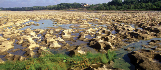
Fossil beds at Falls Of The Ohio State Park.
Fossils
Indiana’s limestone bedrock formed 570 to 245 million years ago. During that time, our continent was much farther south, closer to the equator. Temperatures were warmer, and the area was covered by a shallow ocean.
The shallow ocean was filled with clams, snails and other animals. These animals had shells and structures that were rich in calcium. As these animals died, their shells formed layers on the ocean floor. As more and more layers piled up, their weight pressed down to form solid rock— limestone.
Limestone is a sedimentary rock. All sedimentary rock is formed by layers deposited, one on top of the other, over a long period. Sedimentary rock can form from layers of dirt, sand, shells, plants or other material. Which layers of sedimentary rock would be the oldest— the bottom or the top?
Fossils form when an animal’s shell or other hard structure is buried without being broken into smaller pieces. Over time, the shell is replaced with limestone. This forms a fossil replica or print of the shell.
Creation of Clifty Falls
Clifty Falls was created during the Ice Age, when the southward flowing waters of Clifty Creek met the newly formed Ohio River in a waterfall that may once have been 200 feet high. The falls has since cut into bedrock to a point more than 2 miles north of its original position. The park’s 425-million-year-old shale and limestone rocks contain numerous marine fossils and are among the oldest bedrock exposures in Indiana.
These layers of shale, limestone and fossils were formed when shallow seas formed, deepened and then receded, leaving behind marine animals buried in layers of mud of varying types that hardened into rock. Clifty Creek’s stony bed is littered with fossil remnants, including ancient corals, ancestral squids, brachiopods and more. Fossil collecting within Clifty Falls State Park is prohibited but nearby collecting locations outside of park boundaries are readily accessible.
Glaciers

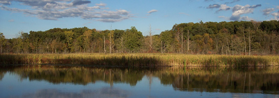
Lake Lonidaw, glacial kettle lake at Pokagon State Park.
The Ice Age started more than one million years ago and ended in Indiana about 15,000 years ago. During colder Ice Age periods, the Earth’s temperature was approximately 10 degrees cooler, and more snow fell in the winter than melted in the summer. As snow piled up over thousands of years, it formed into a glacier of solid ice that flowed from Canada over northern Indiana.
To illustrate what happened, think of what happens if you drop a clump of wet sand on a sidewalk. It spreads out. If you drop a second clump at the same spot, the first clump spreads out farther. This is how glaciers moved. As snow continued to fall in the north, the weight pushed the edges of the glacier farther south.
The Ice Age shaped Indiana’s landscape. Glaciers flattened hills, buried rivers, dug new lakes and pushed piles of rocks into new hills called moraines. As the glaciers melted, large amounts of water carved the paths of Indiana’s rivers.
Today our state shows evidence of glaciers, especially in northeastern Indiana, with its many lakes, low hills and boulders. Examples are in that region’s two state parks, Chain O’Lakes and Pokagon. The glacier that began melting 10,000 to 15,000 years ago was the last one of four to cover Indiana and has been named the Wisconsin glacier. The Saginaw lobe of this massive, one-mile-thick ice flow was the last to shape the face of these two parks. Visible features include kettle-hole lakes, kettle depressions, glacial kames, eskers and glacial erratics.
Follow these links to learn more about the impact of glaciers on Indiana:
- http://igs.indiana.edu/ReferenceDocs/StateParkGuide_ChainOlakes.pdf
- http://igs.indiana.edu/ReferenceDocs/StateParkGuide_Pokagon.pdf
